FUND SURVEY TECHNOLOGY
Finding What the Water Hides
No single technology finds everything. SCWS uses a combination of visual observation, multiple sonar types, cameras, and verification. This page shows what is currently in use and what advanced capabilities are planned for the future.
01 — CURRENT TECHNOLOGY
What SCWS Uses Today
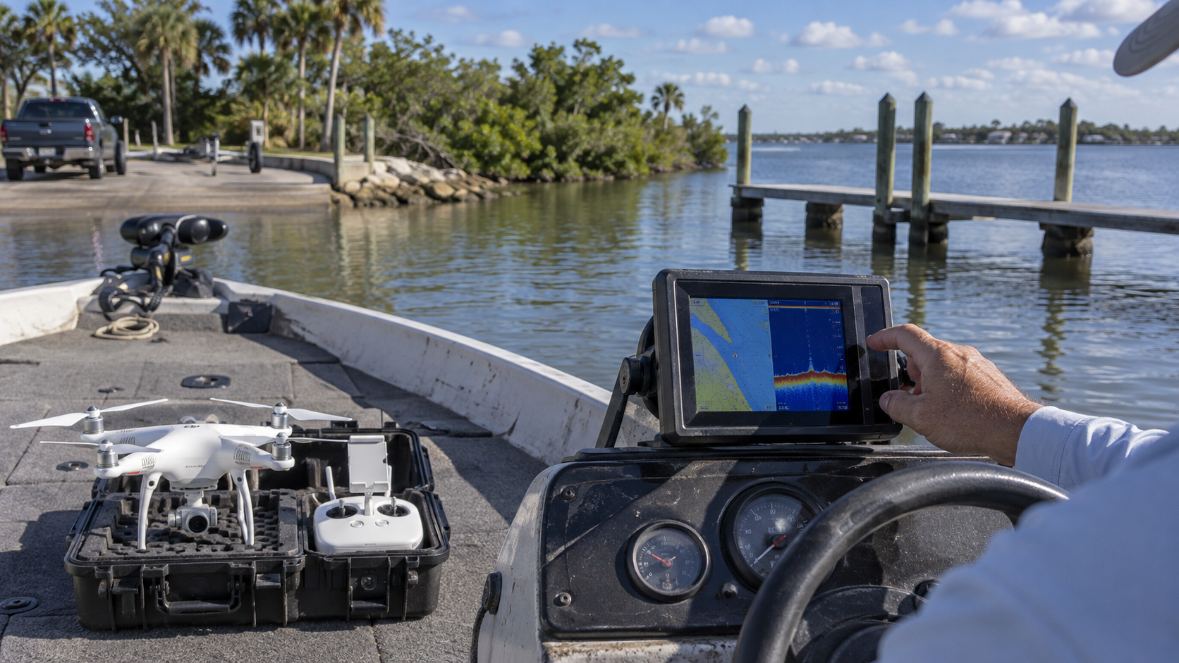
Current survey technology combines visual observation from the boat with basic sonar and camera documentation. Some sonar types are being acquired and are not yet fully deployed.
- ● Visual observation from the boat
- ● Side-scan sonar — being acquired
- ● Down-scan sonar — being acquired
- ● Basic drone capability for visual documentation
- ● Basic camera documentation
02 — PLANNED ADVANCED TECHNOLOGY
What SCWS Is Building Toward
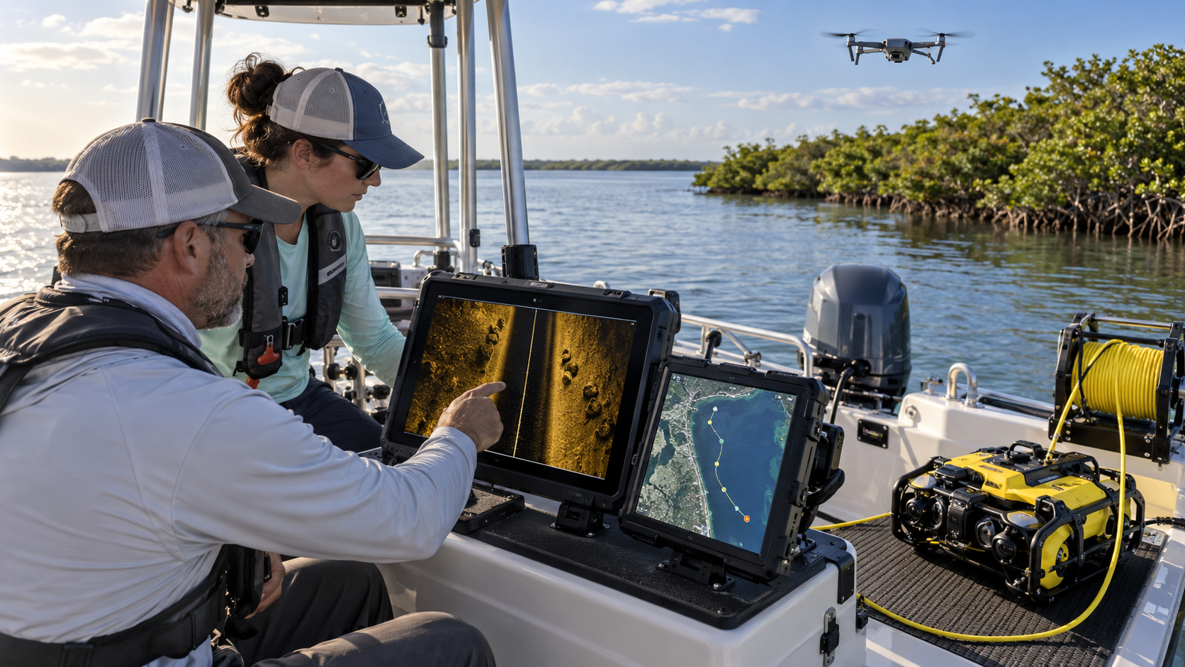
These advanced capabilities do not exist yet. They are planned future technology that would expand what the survey team can find, verify, and map. Every item below is a concept — not equipment SCWS already owns.
- ● Live sonar — planned, not yet purchased
- ● 360-degree sonar for full surrounding coverage
- ● ROV (remotely operated vehicle) for underwater verification
- ● High-definition underwater cameras
- ● Longer-flight-time drones with higher-resolution sensors
- ● Integrated sonar recording and mapping software
- ● Trained sonar operators on every survey
Support Option Being Prepared
Your support helps acquire, deploy, and maintain the advanced sonar, drone, ROV, and mapping technology that finds what the water hides.
A dedicated donation form for this program is being prepared. Please check back soon.
Back to Inside Project Lagoon