Inside Project Lagoon
A Guided Walkthrough of the Fleet, Technology and People Behind the Mission
Follow a Project Lagoon operation from the first survey plan to the final documented recovery. Along the way, see what Space Coast Water Sweep already has in service, what has been personally committed to the mission, what it costs to operate today, and what capabilities are still needed to expand the work.
The Commitment Behind Project Lagoon
Personal investment, nonprofit resources, and a long-term plan to build a professional lagoon survey and recovery operation.
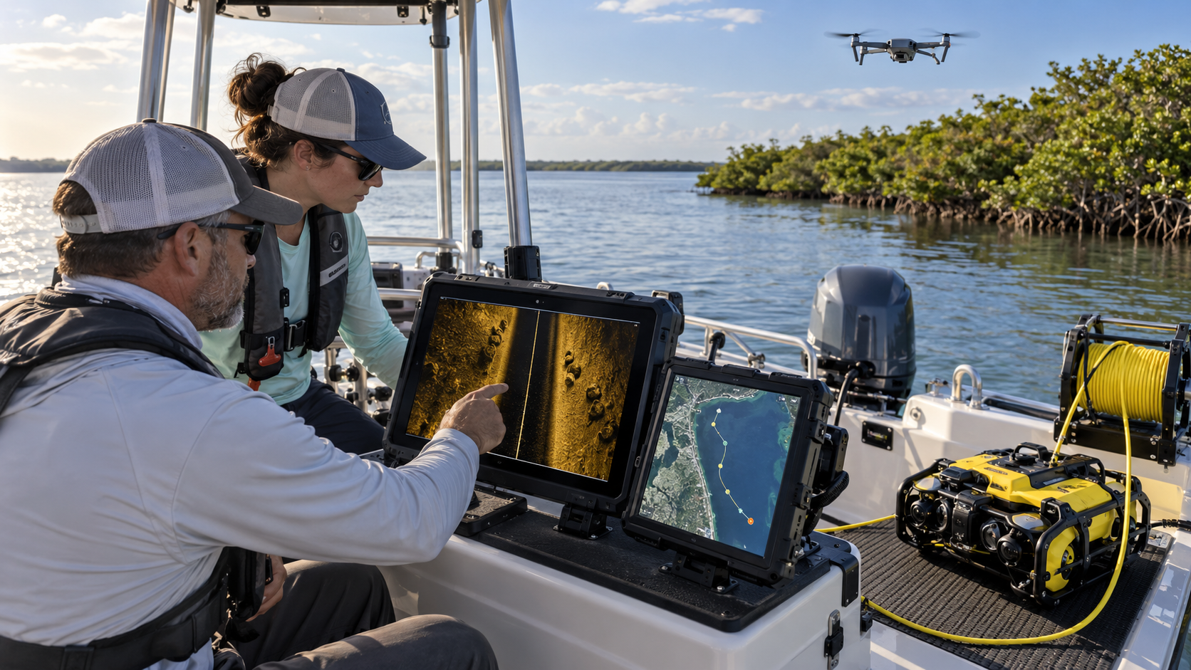
Illustrative image — real SCWS field photographs coming soon
Project Lagoon is not a concept waiting for funding. It is already being developed through personal commitment, nonprofit investment, donated resources, volunteers, partnerships, and a long-term plan to build a professional lagoon survey and recovery operation.
The boat, the motor, the conversion work, the field testing, and the early operations are all real. They exist today because individuals and the organization have put their own time, equipment, and resources on the line to prove the model works before asking others to help it grow.
WHAT WE HAVE TODAY
- Existing 18-foot work boat in service
- New outboard motor — installation in progress
- Boat conversion work underway (electronics mounting); center-console built
- Personal time and vessel use committed by leadership
- Volunteer service from trained community members
- Equipment already being acquired or installed
- Early field testing and operations conducted
WHAT WE ARE BUILDING TOWARD
- A dedicated, professionally equipped survey and recovery operation
- Full-time paid survey and recovery teams
- A fleet of purpose-built vessels
- Permanent operations and staging facility
- Sustained, year-round lagoon coverage
Preparing the Field Operation
Everything that happens before the boat launches.
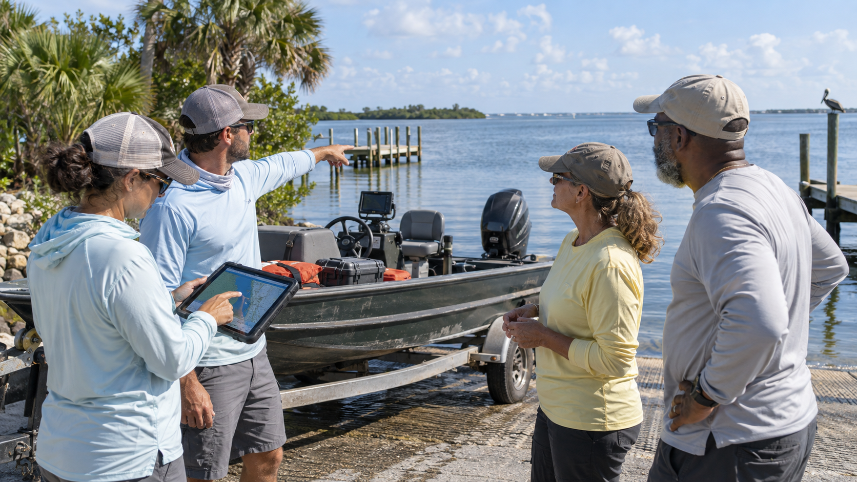
Illustrative image — real SCWS field photographs coming soon
A successful Project Lagoon operation begins long before the boat leaves the dock. Preparation is what makes the difference between a productive survey and a wasted day on the water.
The team reviews the assigned zone, checks access points and water conditions, monitors weather, charges every battery, prepares tablets and cameras, loads retrieval equipment, confirms the survey team, and plans GPS survey routes — all before the boat is in the water.
WHAT WE HAVE TODAY
- Survey zone selection process using assigned Adopt a Lagoon Zone areas
- Access and condition review before each operation
- Weather monitoring before launch
- Safety equipment checklist and preparation
- Battery charging and electronics preparation
- Tablet and camera preparation with GPS enabled
- Retrieval equipment loading
- Survey team confirmation and communication check
- GPS survey route planning
The Survey and Work Boat
How the current boat is being transformed into a practical Project Lagoon field platform.
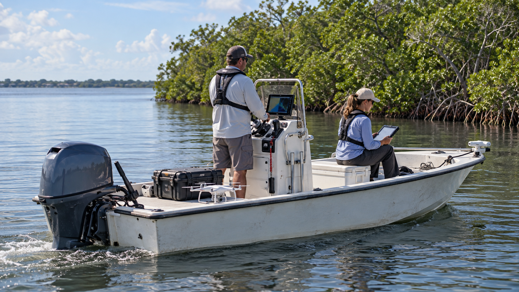
Illustrative image — real SCWS photograph of survey boat coming soon
The current 18-foot boat is being converted from a standard recreational vessel into a practical Project Lagoon field platform. A new motor is being installed. A center-console conversion has been built; installation status to be confirmed. Electronics, equipment mounting, storage, and safety gear are being installed step by step.
Every component is clearly identified: SCWS-owned, personally provided for mission use, donated, being installed, or planned. This transparency is part of the commitment — the public can see exactly what exists and what is still needed.
WHAT WE HAVE TODAY
- 18-foot boat — personally owned (planned to be donated and registered to SCWS after marina work is complete)
- New outboard motor — installation in progress
- Center-console conversion — built; installation status to be confirmed
- Standing work position at the helm
- Electronics mounting — being installed
- Equipment storage — being configured
- Safety equipment — onboard and being expanded
WHAT WE ARE BUILDING TOWARD
- A dedicated, purpose-built survey vessel (approximately 24-foot)
- Enclosed pilothouse for all-weather operations
- Integrated advanced sonar package
- Professional equipment mounting and power systems
- Redundant survey vessel for parallel coverage
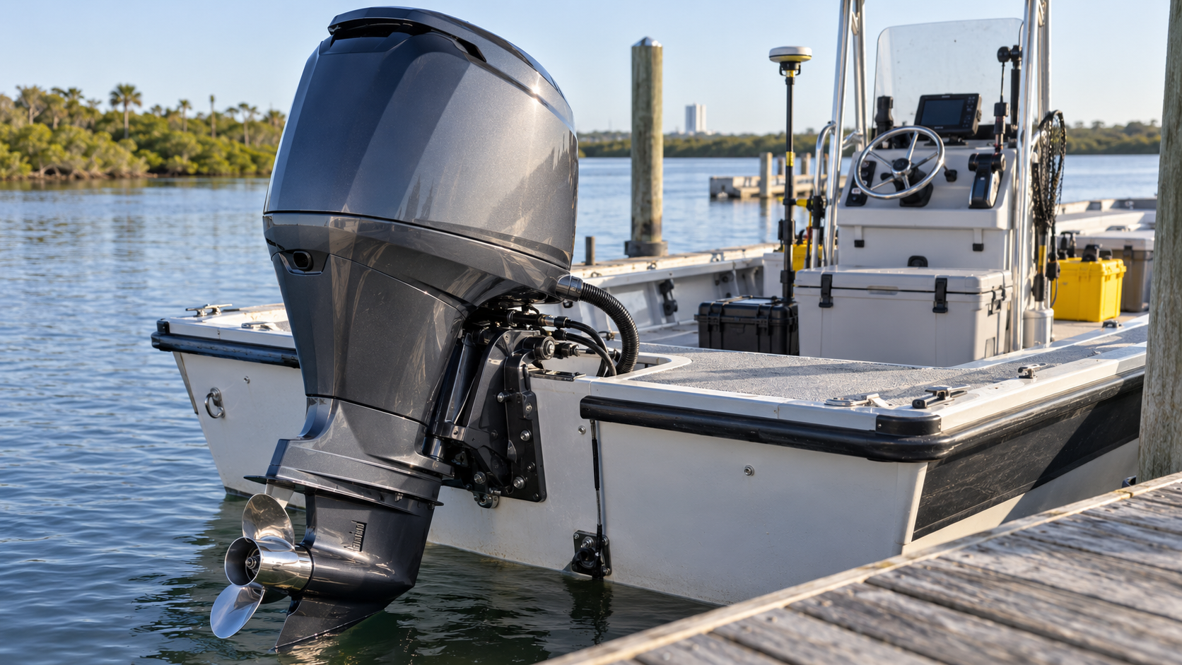
Illustrative image — real SCWS field photographs coming soon
Following the GPS Survey Route
GPS tracks document where the team traveled and which parts of a zone were surveyed.
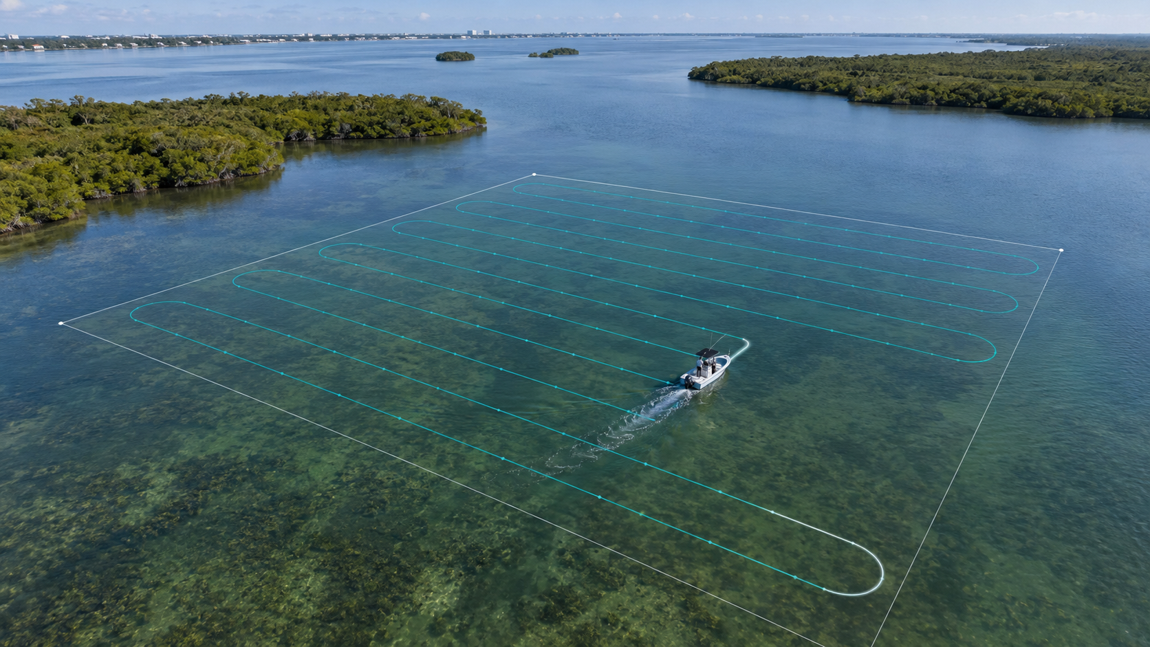
Illustrative image — real GPS track screenshot coming soon
Every Project Lagoon survey follows a planned GPS route. The tracks left behind are not just a record — they are proof of coverage. They show which lanes were run, which areas were missed, and where the team has already been.
Assigned zones, survey lanes, GPS tracks, and coverage progress are all visible on the platform. Adopters can see their zone being surveyed. Repeat surveys and resurveys after recovery confirm that the work is holding.
Seeing the Shoreline from Above
Drones may support shoreline inspection, inaccessible-area observation, and visual documentation.
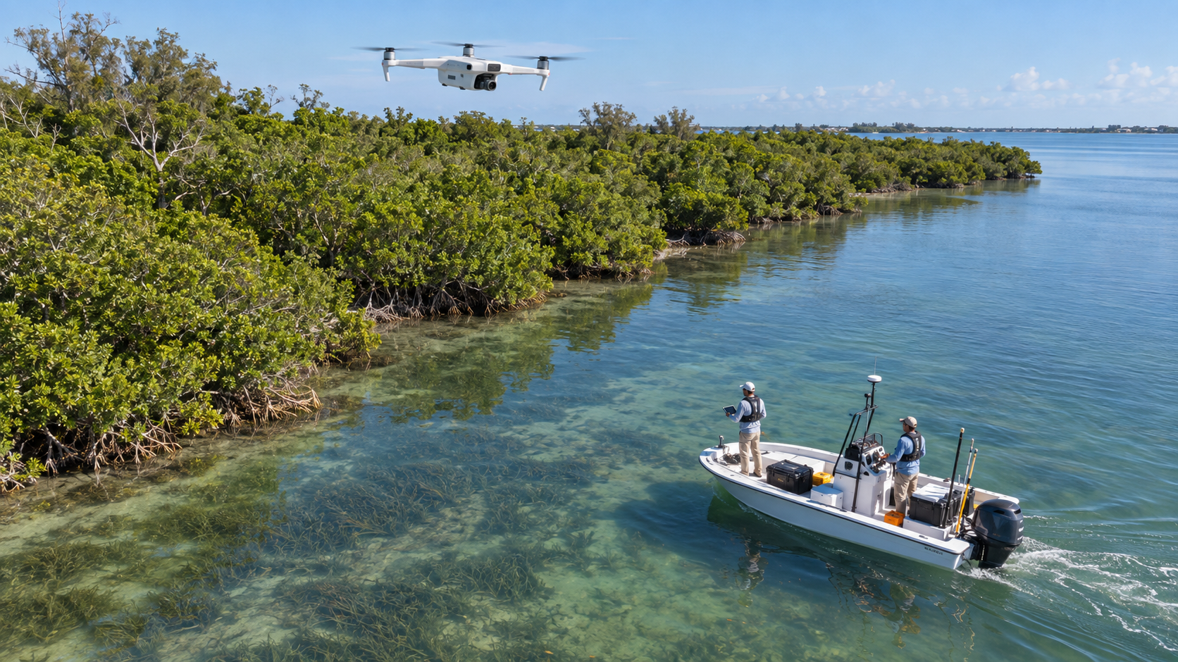
Illustrative image — real SCWS field photographs coming soon
Drones add a perspective that no boat can provide. From above, the team can inspect shorelines that are inaccessible by water, document conditions visually, and plan future survey routes. Drone use depends on applicable flight rules, location, weather, and operating conditions — it is a tool, not a replacement for on-water survey.
Current drone capabilities are limited but growing. Future planned improvements include longer flight time, better cameras, and specialized sensors.
WHAT WE HAVE TODAY
- Basic drone capability for visual documentation
- Shoreline observation from above
- Photographic record of conditions
WHAT WE ARE BUILDING TOWARD
- Longer-flight-time drones for extended coverage
- Higher-resolution cameras and sensors
- Specialized mapping and survey planning software
- Trained drone operators with proper certifications
- Systematic shoreline inspection program
Marking the Discovery
How a finding receives GPS coordinates, classification, and verification status.
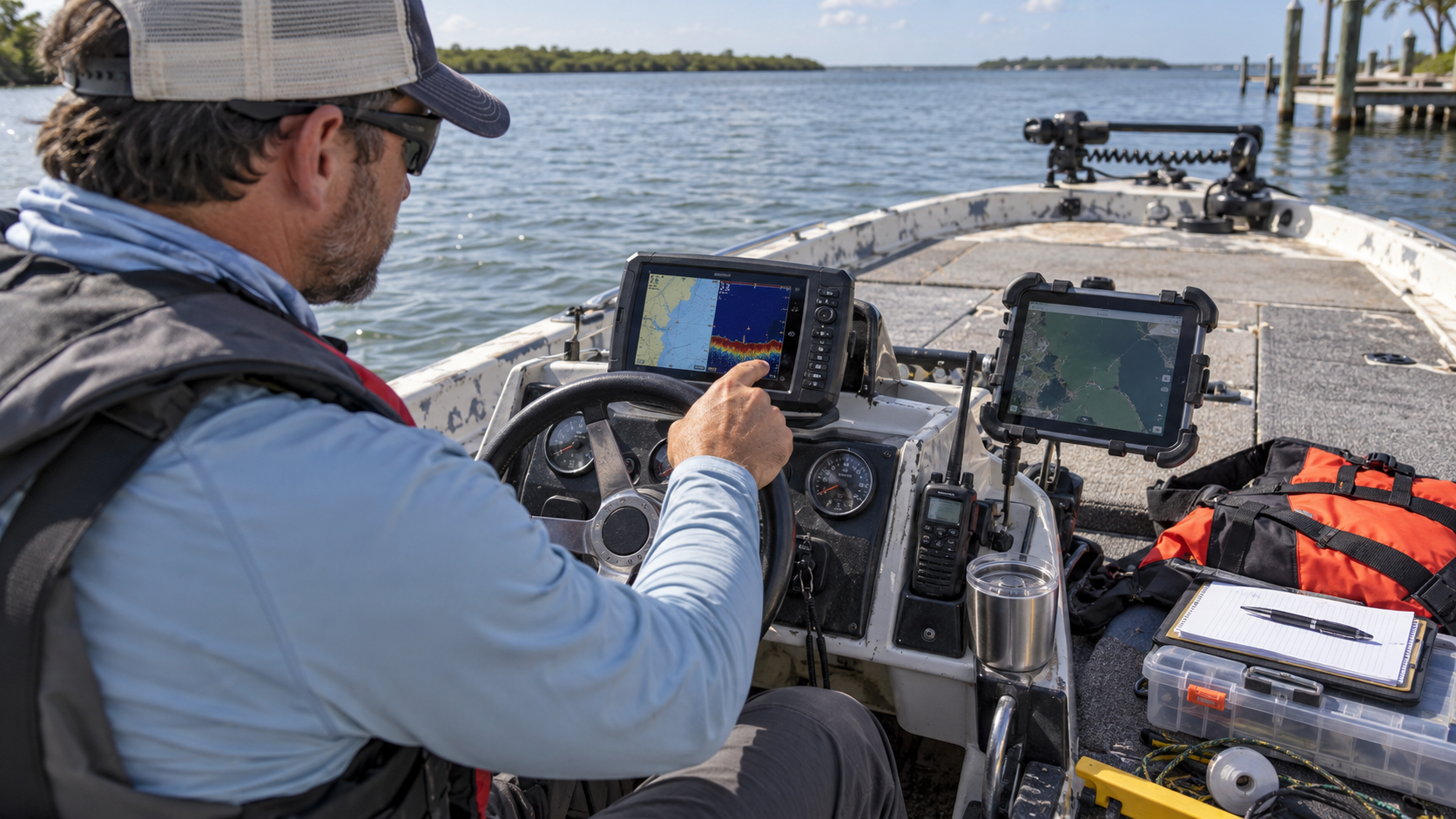
Illustrative image — real SCWS photograph of marking process coming soon
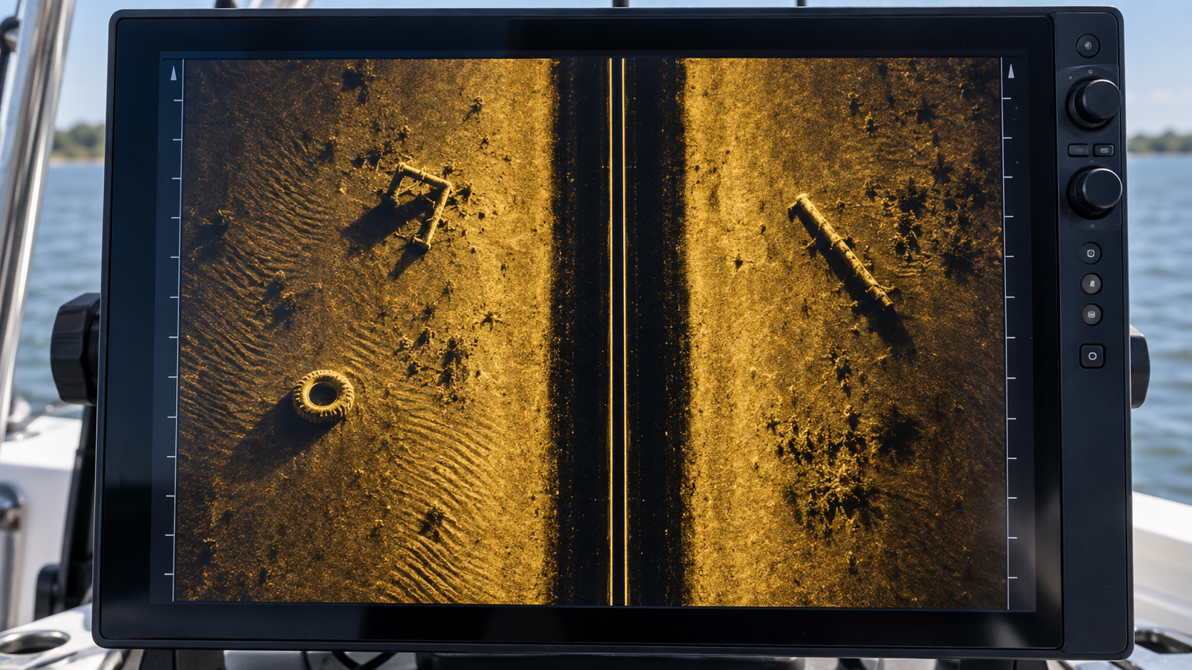
When the team finds something, it does not get pulled out immediately. It gets marked. Every discovery receives GPS coordinates, a date and time stamp, photographs or sonar evidence, a debris classification, an estimated size, hazard information, and a verification status.
This is the moment a submerged object becomes a documented observation in the system — one that can be reviewed, verified, and eventually recovered.
Public safety principle: See It. Report It. Don't Disturb It. A public report helps SCWS document and map submerged debris, but it does not authorize recovery. Submerged debris should not be disturbed by the public. Observations are reviewed and verified by trained teams, and recovery occurs only when appropriate and authorized. Not every reported object is guaranteed to be recovered.
WHAT WE HAVE TODAY
- GPS coordinates captured for every finding
- Date and time stamp
- Photographs or sonar evidence attached
- Debris classification (trash, large debris, fishing debris, etc.)
- Estimated size recorded
- Hazard information noted
- Reporter or supporter recognition
- Verification status tracked
From Field Observation to Digital Map
The technology built into the Project Lagoon platform.
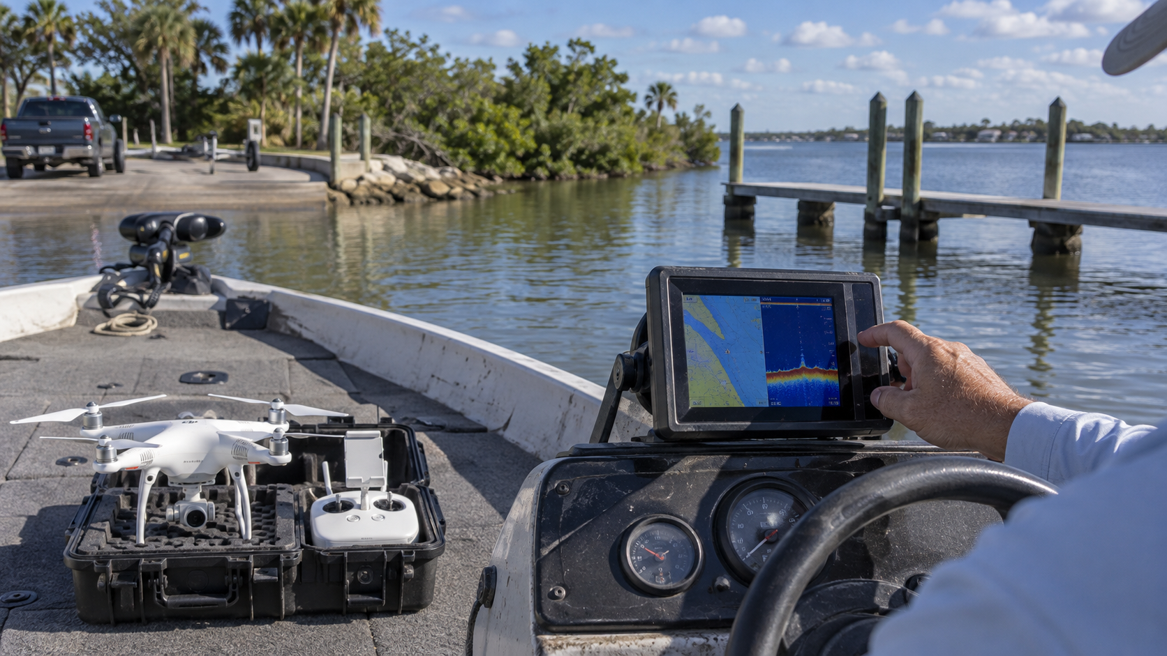
Illustrative image — real SCWS screenshot of digital map coming soon
Every observation marked in the field flows into a digital operations system. Smart Reports, GPS tracks, observation pins, Project Lagoon Live, Hidden Waters findings, and Adopt a Lagoon Zone recognition all connect on the same map.
Administrators verify findings, assign recovery targets, and report progress publicly. The visitor does not need to navigate a database — they see a living map of what has been found, what has been verified, and what has been recovered.
Verifying Before Recovery
Finding an object does not automatically mean it can be immediately removed.
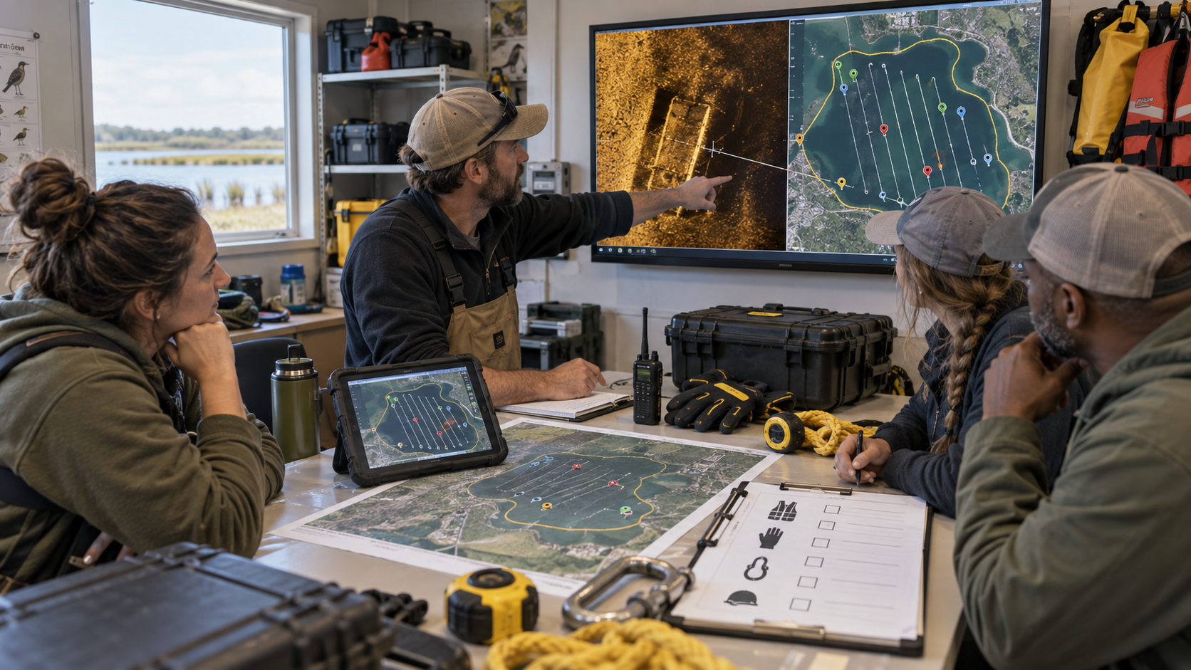
Illustrative image — real SCWS photograph of verification and review process coming soon
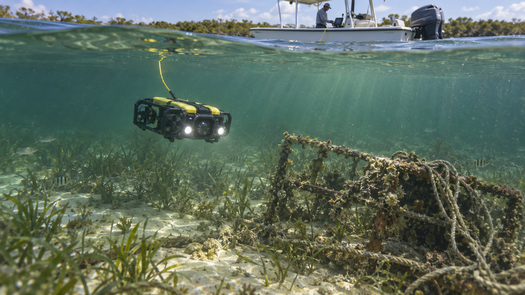
Discovery is only the first step. Before anything is recovered, the team reviews the finding, researches ownership questions, confirms whether FWC or other authorization is required, assesses safety, checks for wildlife concerns, identifies hazardous materials, confirms required equipment, plans disposal, and confirms funding and staffing.
This is not bureaucracy — it is responsible operations. Some items require permits. Some belong to someone else. Some pose risks that require specialized handling. Verification protects the team, the public, and the environment.
Prioritization and hotspot identification: Survey teams can continue documenting an area until enough verified recoverable targets are identified to justify a focused recovery mission. Rather than sending a recovery crew every time someone sees one piece of debris, Project Lagoon groups targets into prioritized recovery areas. Prioritization factors include multiple debris observations, debris density, known hazards, storm-related accumulation, environmentally sensitive areas, repeated observations, operational efficiency, and agency priorities.
WHAT WE HAVE TODAY
- Review of every finding before recovery
- Ownership research where applicable
- FWC and authority authorization process
- Safety assessment for each target
- Wildlife concern evaluation
- Hazardous materials identification
- Required equipment confirmation
- Disposal planning
- Funding and staffing confirmation
Recovering the Debris
Current recovery methods and future capabilities.
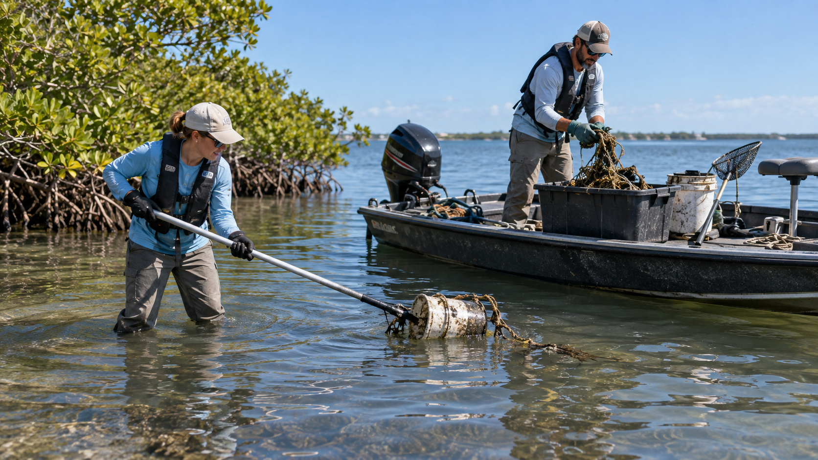
Illustrative image — real SCWS photograph of recovery operation coming soon
Once a finding is verified and authorized, the recovery team goes to work. Today, recovery uses hand tools, hooks, poles, magnets, and grappling equipment. The team lifts, rigs, and transports debris safely back to shore for disposal or recycling.
Future capabilities will expand what can be recovered — recovery pontoons with crane or boom systems, work barges, and heavy equipment for larger targets. Every recovery is planned, documented, and executed with safety as the first priority.
The current Project Lagoon operating model does not use volunteer divers for underwater debris recovery. The public should not enter the water to retrieve submerged objects. Recovery is conducted by trained teams using appropriate equipment and authorization.
Project Lagoon is not a derelict-vessel salvage program. Vessel-related observations may be documented and referred to appropriate authorities, but Project Lagoon does not present vessel removal as an operational capability.
Resource recovery and responsible material handling: Recovered material is not simply discarded. It enters a controlled process of documentation, inspection, sorting and responsible routing. The responsible hierarchy is: AVOID → REDUCE → REUSE → REPAIR / REPURPOSE → RECOVER MATERIAL → CONVERT WHERE APPROPRIATE → RECYCLE → RESPONSIBLE DISPOSAL. Recovered material is sorted into general debris, recyclable metal, organic material, fishing/crab gear, recoverable reusable materials, and hazardous or special-handling materials where encountered. This is a responsible operating preference, not a zero-waste or sustainability certification claim.
CURRENT RECOVERY CAPABILITY
- Hand tools
- Hooks and poles
- Magnets
- Grappling equipment
- Basic lifting and rigging
- Baskets for transport
- Disposal and recycling
FUTURE RECOVERY CAPABILITY
- Recovery pontoons with crane or boom systems
- Work barges for large-scale recovery
- Heavy equipment for oversized targets
- Specialized rigging for vessels and structures
- Integrated debris-processing equipment
Documenting the Result
Before-and-after photographs, recovery team credit, and final zone reports.
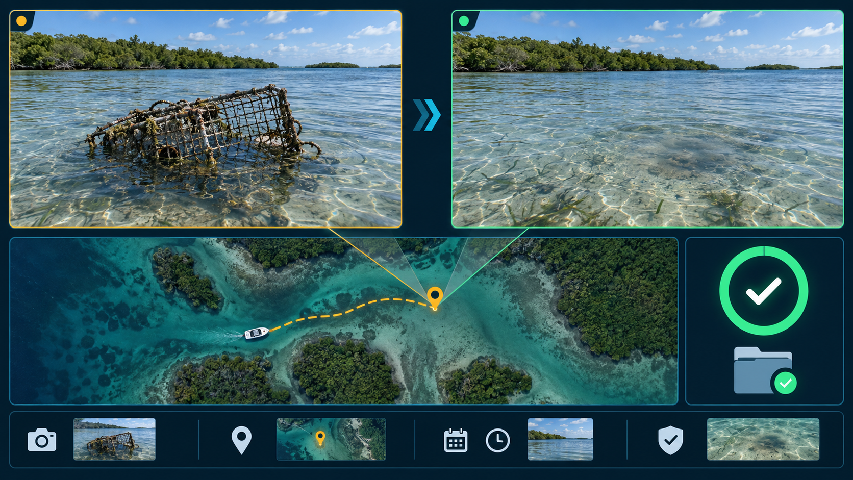
Illustrative image — real SCWS photograph or record screenshot coming soon
Recovery is not complete until it is documented. The team captures before-and-after photographs, records the actual recovery team credit, weighs and classifies the debris type, records the disposal or recycling method, logs volunteer and staff hours, tracks recovery costs, updates the map status, and produces a final zone report.
This documentation is what makes the work credible. It is what funders, partners, adopters, and the public can see and trust.
WHAT WE HAVE TODAY
- Before-and-after photographs
- Actual recovery team credit
- Weight and debris type recorded
- Disposal or recycling method documented
- Volunteer and staff hours logged
- Recovery costs tracked
- Updated map status
- Final zone report
Returning to Resurvey
Why SCWS returns after removal.
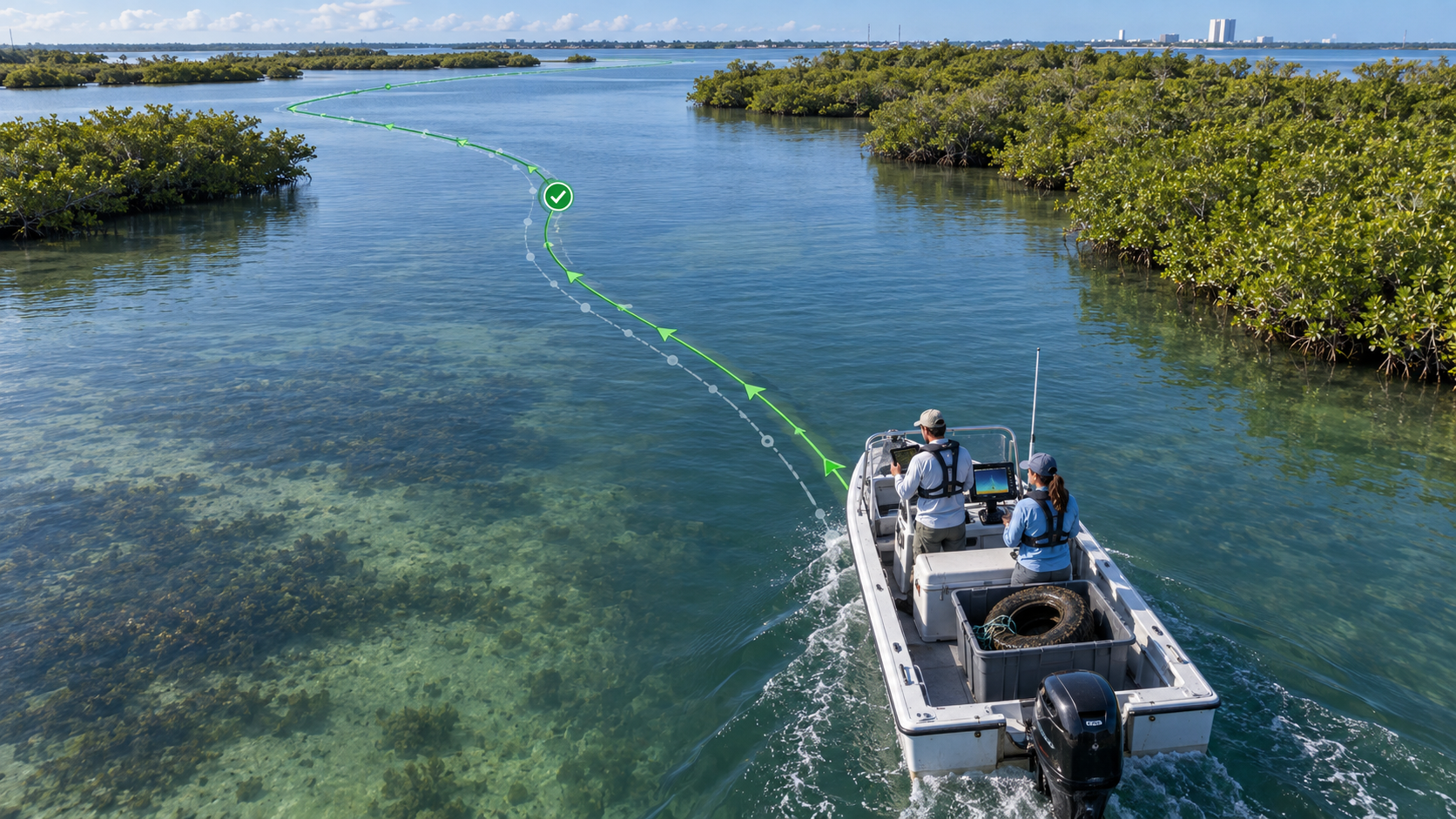
Illustrative image — real SCWS photograph of resurvey operation coming soon
Recovery is not the end. The team returns to the same GPS survey route after removal to confirm the target is gone, look for nearby debris, measure the cleared area, compare conditions, monitor for recurring debris, and build long-term trends.
This is what separates Project Lagoon from a one-time cleanup. It is sustained, documented, and verified — the lagoon is not just cleaned once, it is monitored over time.
Every mission can teach us something about the Lagoon. Over time, Project Lagoon data may help identify patterns and trends that improve conservation effectiveness: debris hotspots, recurring accumulation areas, storm impacts, debris types, recovery trends, areas needing repeat survey, environmental patterns, operational effectiveness, cost and effort per recovery area, and future restoration opportunities. As the system grows, data connections to Currents Through Time, the AI/Data Hub, research partners, university work and environmental reporting may create new opportunities for understanding the Lagoon.
WHAT WE HAVE TODAY
- Post-recovery resurvey to confirm target is gone
- Nearby debris search
- Cleared area measurement
- Condition comparison
- Recurring debris monitoring
- Long-term trend building
The People Who Make It Work
The roles required to run a professional lagoon survey and recovery operation.
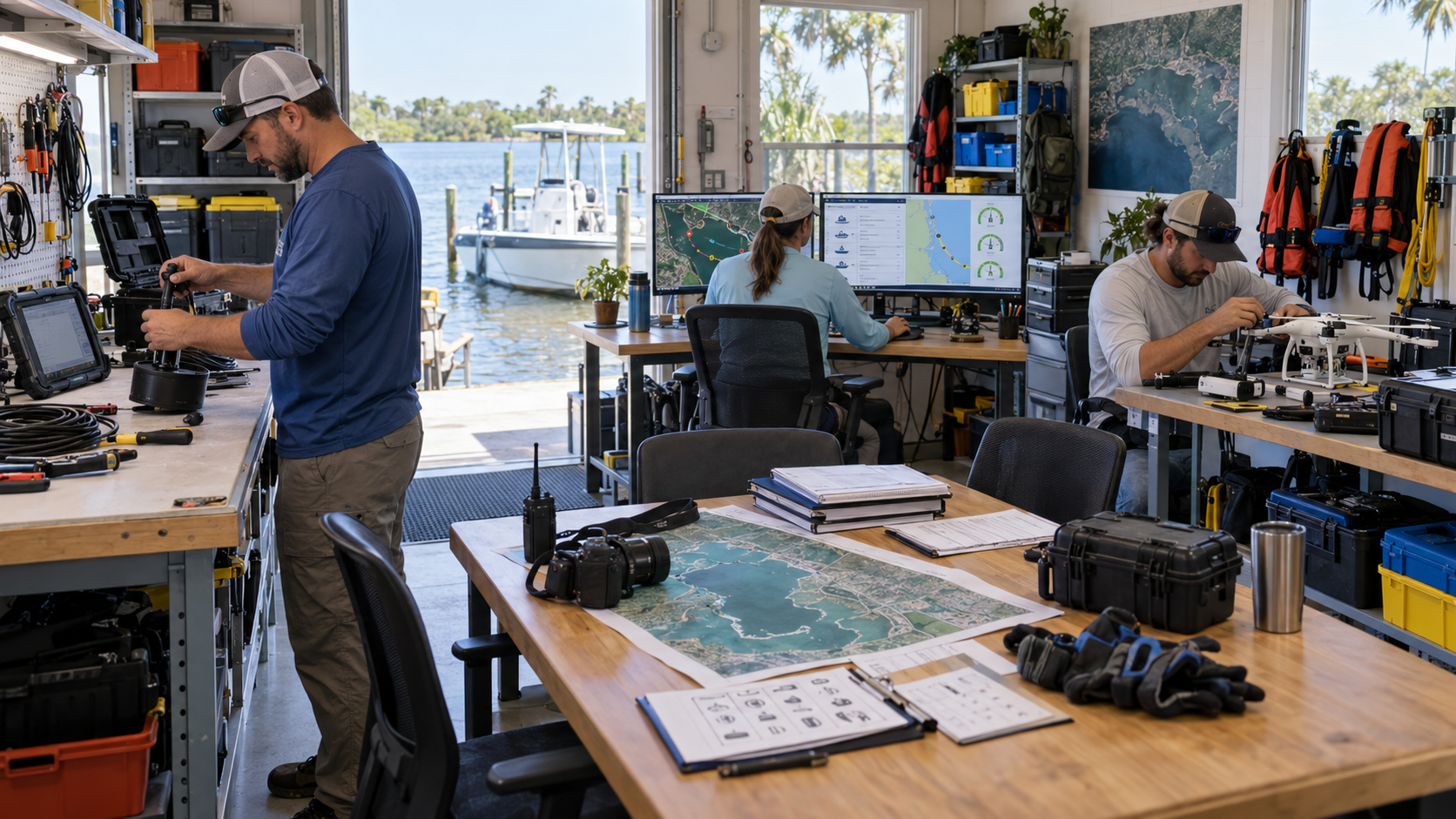
Illustrative image — real SCWS photograph of the team and workspace coming soon
Project Lagoon is not just equipment — it is people. Today, the operation runs on volunteers and leadership who donate their time. As the program grows, these roles will transition to paid positions.
Every role listed here is real and needed. Some are filled today by volunteers. Some are filled by leadership. Some are planned for the future.
EXISTING VOLUNTEER ROLES & CURRENT LEADERSHIP
- Program manager (volunteer/leadership)
- Boat lead (volunteer/leadership)
- Survey technician (volunteer)
- Data reviewer (volunteer/leadership)
- Recovery crew (volunteer)
- Volunteer leader (volunteer)
- Office coordinator (volunteer)
PLANNED PAID POSITIONS
- Full-time program manager
- Full-time boat lead / survey captain
- Survey technician (paid)
- Drone operator (paid, certified)
- Sonar operator (paid, trained)
- Data reviewer (paid)
- Recovery crew (paid)
- Mapping and reporting support (paid)
- Equipment maintenance (paid)
What It Costs to Operate Today
The real overhead required even at the current small scale.
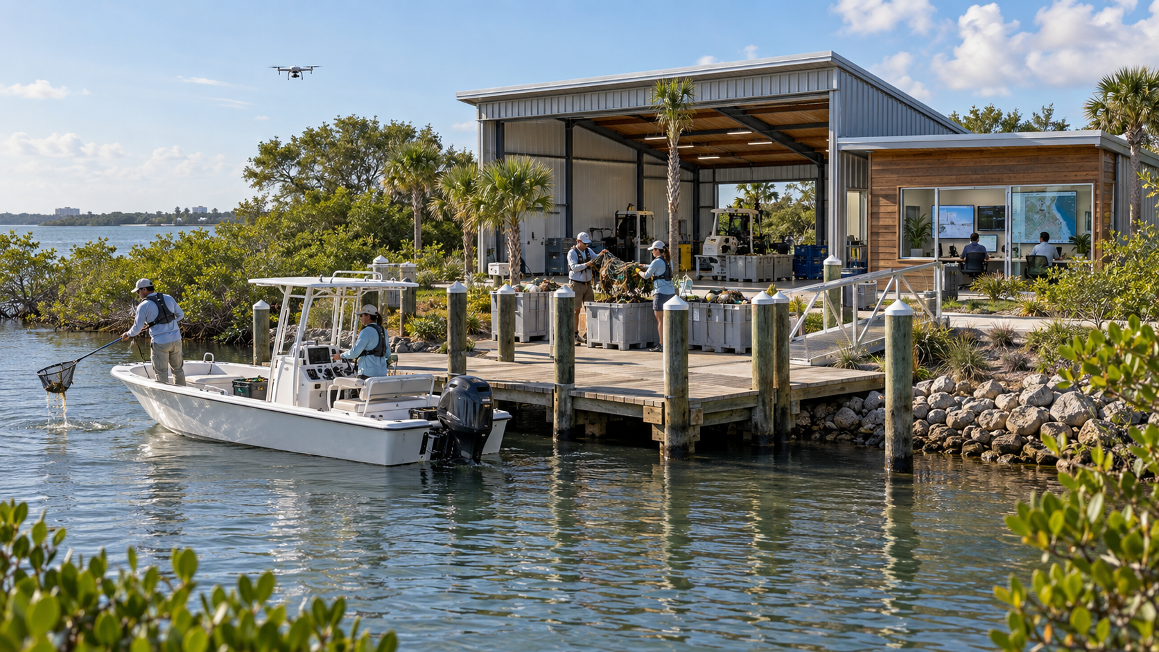
Illustrative image — real SCWS photograph of operations facility coming soon
Project Lagoon operates at three distinct levels, each with its own cost structure. Understanding all three helps supporters see exactly where the mission stands today, what it takes to sustain it, and what the full vision would cost.
Level 1 is the current founder-led, one-boat operation — real cash expenses, donated equipment, personally provided equipment, and volunteer hours. Level 2 is a preliminary planning range for a sustainable one-boat operation with paid staff and a small inland facility. Level 3 is the full County-scale proposal from the original Project Lagoon prospectus.
Cash expenses are displayed separately from donated or personally provided value. No fabricated totals are published. Every figure is administrator-editable and will be updated with verified amounts as they are confirmed.
THREE OPERATING LEVELS
- Level 1 — Current SCWS field operation (founder-led, one-boat, volunteer-supported)
- Level 2 — Sustainable one-boat operation ($350,000–$425,000 annually, plus insurance)
- Level 3 — Full County-scale operation ($1,670,665 Year 1, plus insurance)
- Cash expenses shown separately from donated and personally provided value
- All figures administrator-editable with vendor quote tracking
LEVEL 1 — CURRENT SCWS FIELD OPERATION
The current founder-led, one-boat operation. Cash expenses are shown separately from donated and personally provided value.
VERIFIED CASH EXPENSES
Cash expenses being documented by SCWS administration.
DONATED & PERSONALLY PROVIDED VALUE
Donated and personally provided equipment being documented.
No fabricated total is published. SCWS administration enters verified cash expenses, donated equipment, personally provided equipment, donated professional services, and volunteer hours as they are confirmed.
LEVEL 2 — SUSTAINABLE ONE-BOAT OPERATION
Preliminary planning range: $350,000–$425,000 annually, plus final insurance costs.
$397,500
| Program management and field personnel | $180,000 |
| Payroll costs and basic benefits | $35,000 |
| Small inland facility lease and operations | $48,000 |
| Boat and vehicle fuel | $24,000 |
| Fleet and equipment maintenance | $25,000 |
| Disposal, recycling and hauling | $12,000 |
| Communications and data | $6,000 |
| Field and office supplies | $6,000 |
| Training and credentials | $5,000 |
| Marine towing assistance | $2,500 |
| Public information and outreach | $3,000 |
| Permits and licenses | $3,000 |
| WRN platform and digital systems | $12,000 |
| Accounting and payroll support | $15,000 |
| Legal and compliance | $7,500 |
| Banking and transaction costs | $3,000 |
| Emergency and asset protection | $7,500 |
| Authorized mileage and travel | $3,000 |
| Preliminary Annual Total | $397,500 |
Preliminary planning estimates adapted from the full Project Lagoon County proposal. Final costs require facility, insurance, staffing and vendor quotes. These are not approved expenses or confirmed quotes.
LEVEL 3 — FULL COUNTY-SCALE OPERATION
The original preliminary County proposal — the larger professional model. This funding has not been awarded.
CAPITAL & STARTUP
$750,225
ANNUAL OPERATING
$920,440
plus insurance
PRELIMINARY YEAR 1 TOTAL
$1,670,665
plus insurance
This level represents the larger professional model with:
- • Dedicated survey crew
- • Dedicated recovery crew
- • Program management
- • Office and data coordination
- • Recovery pontoon
- • Debris barge
- • Two heavy-duty vehicles
- • Compact track loader
- • Dump trailer
- • Expanded equipment
- • Full operations facility
- • Professional reporting and compliance
This funding has not been awarded. The figures are from the original preliminary Project Lagoon County proposal.
What We Have Already Built
A visual summary of equipment, systems, and capabilities already available.
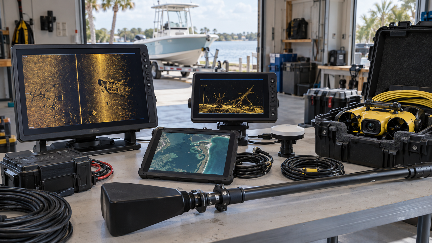
Illustrative image — real SCWS photograph of equipment coming soon
This is what exists today — not a concept, not a plan, but real equipment, systems, and capabilities already in service or being installed.
Every item is categorized: In Service, Personally Provided for Mission Use, Donated, Funded and Ordered, Being Installed, or Being Upgraded.
VERIFIED CAPABILITY CATEGORIES
- In Service — actively used in operations
- Personally Provided for Mission Use — committed by leadership
- Donated — given by supporters and partners
- Funded and Ordered — purchased, awaiting delivery
- Being Installed — physically being mounted or configured
- Being Upgraded — existing equipment receiving improvements
The Small Inland Operations Facility
A practical early operations base in the Cocoa area — not the future Conservation and Discovery Center.
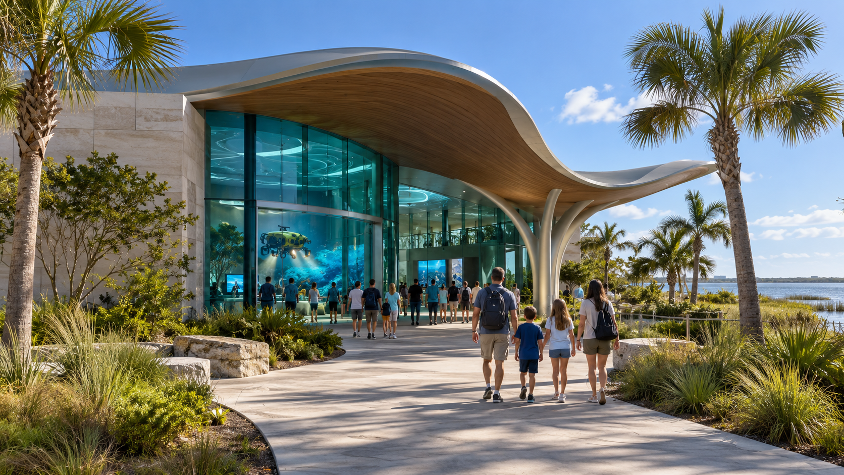
Concept image — future Conservation & Discovery Center facility
Before the future Conservation and Discovery Center in Titusville, Project Lagoon needs a practical inland operations facility in the Cocoa area. This is not a waterfront property, not a museum, and not a visitor attraction — it is a working base for a nonprofit environmental field operation.
The concept is approximately 3,000–5,000 square feet of industrial space with a secure fenced yard, boat and trailer parking, one practical work bay, equipment storage, a small office and data workstation, PPE and safety storage, a battery-charging area, manual debris sorting, and recycling and disposal staging.
The final location, design, and size have not been selected. The preliminary $48,000 annual facility allowance in the Level 2 operating plan is a planning estimate — the actual amount depends on lease terms, property size, zoning, utilities, insurance, drainage, wash-water requirements, security, and required improvements.
FACILITY CONCEPT COMPONENTS
- Inland Cocoa-area industrial location
- Approximately 3,000–5,000 square feet (initial planning concept)
- Secure fenced yard
- Boat and trailer parking
- One practical work bay
- Equipment storage
- Small office and data workstation
- PPE and safety storage
- Battery-charging area
- Manual debris sorting
- Sorting tables
- Labeled rolling bins
- Floor scale
- Pallet jack and hand carts
- Recycling and disposal staging
- Covered temporary material storage
- Controlled washing area if permitted
- Space for routine equipment maintenance
WHAT THIS FACILITY IS NOT
- Not a waterfront property
- Not in Titusville
- Not a public museum or visitor attraction
- Not an automated sorting line
- Not a large conveyor system
- Not heavy manufacturing
- Not the Conservation and Discovery Center
Small-Operation Startup Plan
A preliminary scalable startup view for equipping a sustainable one-boat operation.
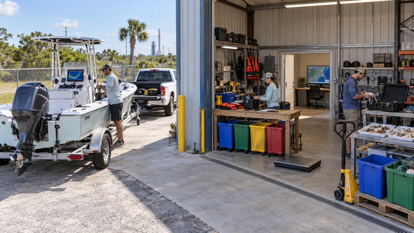
Illustrative image — small-operation startup equipment and facility
This is a preliminary startup plan for equipping a sustainable one-boat Project Lagoon operation. The figures below are planning estimates — not approved expenses or confirmed quotes. Final costs require facility, insurance, staffing, and vendor quotes.
The startup total excludes the value of the current boat and new motor, which have already been funded or committed. Those items are shown separately in the 'Already Committed to the Mission' chapter.
PRELIMINARY STARTUP CATEGORIES
- Survey electronics and observation platform — $12,500
- ROV / underwater inspection system — $15,000
- Drone improvements — $5,000
- Recovery rigging and field equipment — $10,000
- Manual sorting and material handling — $7,500
- Facility setup and outfitting — $15,000
- Shop and maintenance tools — $10,000
- Computers, tablets and IT — $8,000
- Safety, PPE and emergency equipment — $10,000
- Asset identification and basic branding — $5,000
- Initial water-screening capability — $5,000
- Dump trailer — $15,000
- Contingency — $6,000
STARTUP TOTALS (PRELIMINARY)
- Startup excluding tow vehicle: approximately $124,000
- Tow vehicle and outfitting (if required): approximately $65,000–$75,000
- Startup including tow vehicle: approximately $190,000–$200,000
- Current boat and new motor shown separately under 'Already Committed'
Already Committed to the Mission
Equipment already owned, donated, personally provided, funded, or operational — the investment already made.
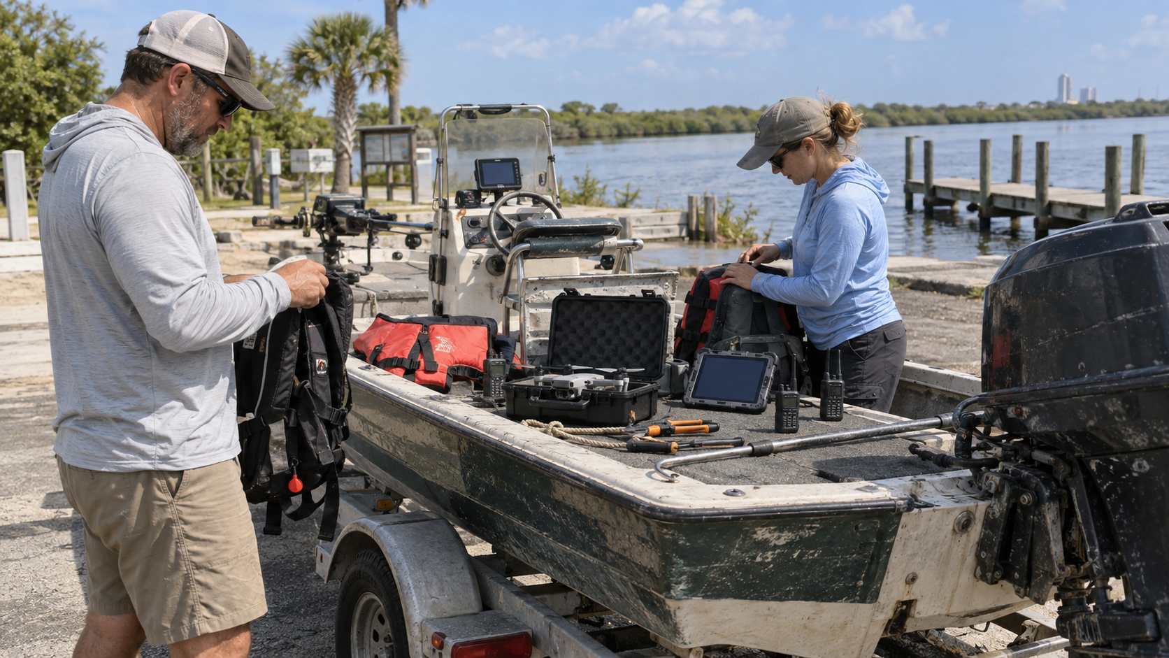
Illustrative image — equipment and site preparation for operation
Project Lagoon is not starting from zero. Equipment, vessels, electronics, and resources have already been committed — owned by SCWS, personally provided for mission use, donated by supporters, funded and awaiting installation, or installed and operational.
This section distinguishes personally provided property from SCWS-owned assets. Each item is categorized, valued when possible, and shown with a photograph or interim illustrative image. Donor recognition is shown only when authorized.
ASSET CATEGORIES
- SCWS-owned — owned by the organization
- Personally provided — committed by leadership for mission use
- Donated — given by supporters and partners
- Funded and awaiting installation — purchased, awaiting setup
- Being installed — physically being mounted or configured
- Installed and operational — in active service
The Project Lagoon Wish List
What SCWS needs to expand the mission.
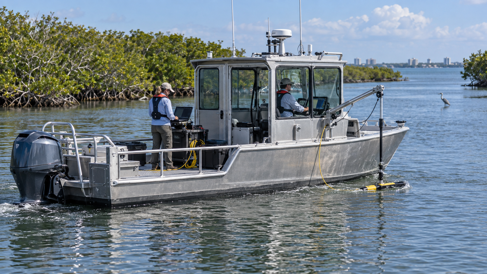
Concept image — future Project Lagoon capability
The wish list is what SCWS needs to grow from a small volunteer operation into a sustained, professional lagoon survey and recovery program. Every item has a mission purpose, a priority, and a path to funding.
All images in this section are concept images — they show what the equipment would look like, not what SCWS already owns. Every concept image is clearly labeled.
WISH LIST ITEMS
- Dedicated survey boat
- Advanced sonar package
- ROV (remotely operated vehicle)
- Additional drones
- Rugged tablets
- Communications equipment
- Recovery pontoon
- Crane or boom system
- Work barge
- Dump trailer
- Tow vehicles
- Safety equipment
- Debris-processing equipment
- Survey and recovery staffing
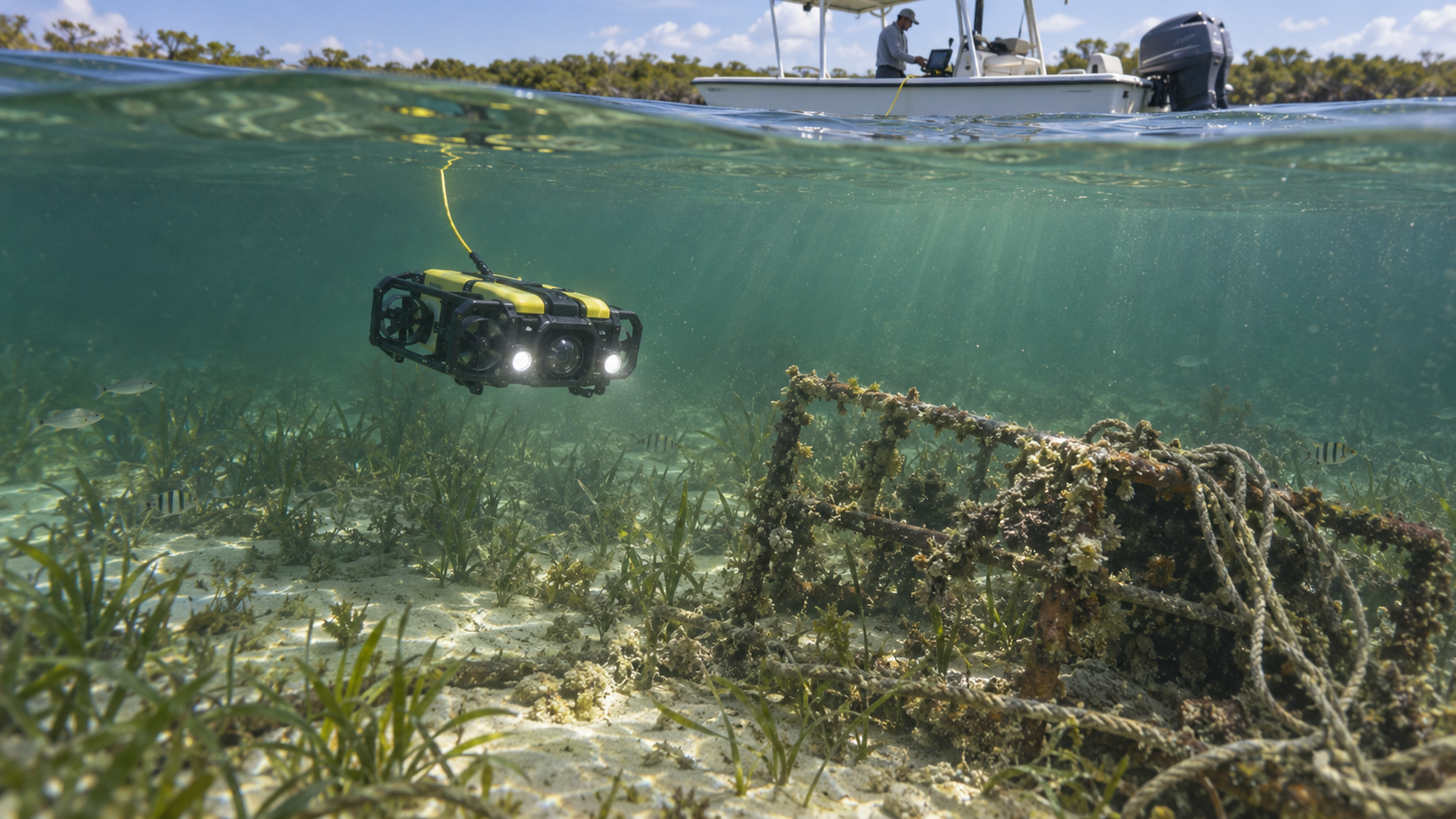
Concept image — future Project Lagoon capability: ROV for subsurface debris verification
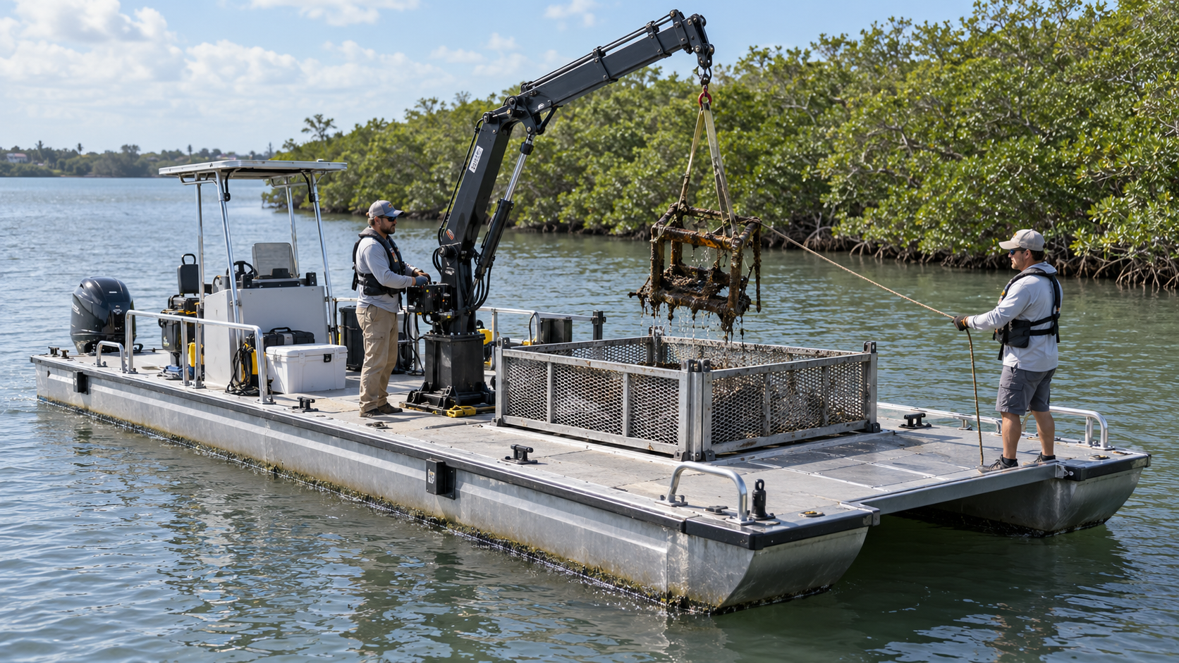
Concept image — future Project Lagoon capability: recovery pontoon with crane for debris retrieval
Building the Full Operation
How today's work grows into the future Project Lagoon and Conservation and Discovery Center operation.
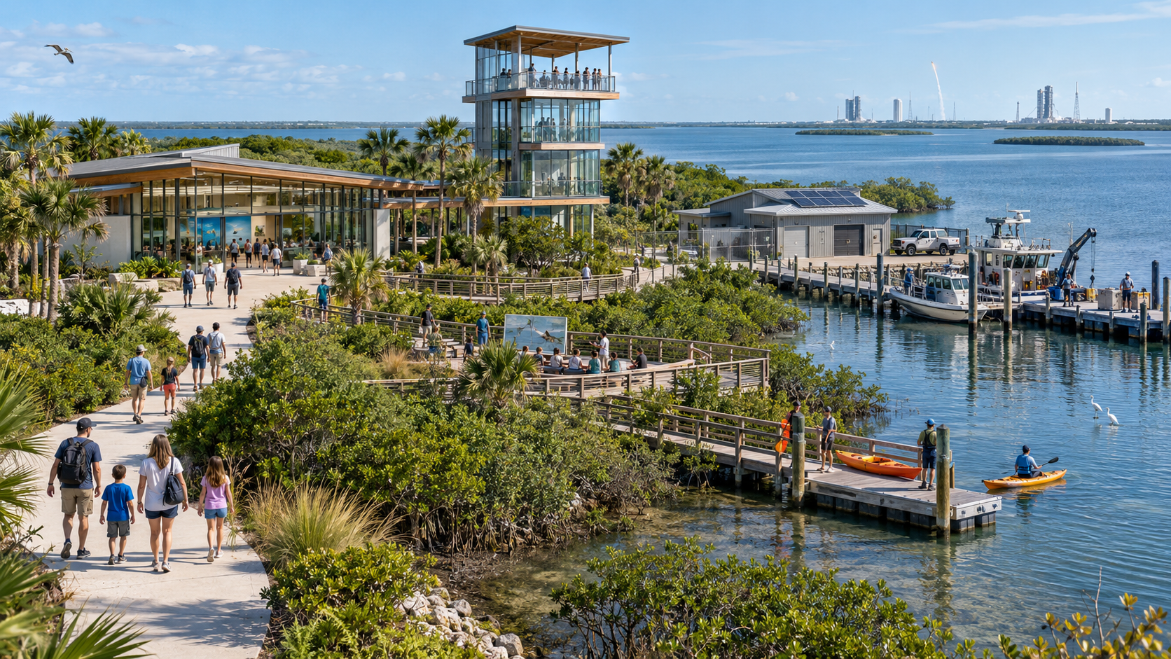
Concept image — full-scale campus and operation vision
Today's small boat and volunteer crew are the seed of something much larger. The vision is an integrated operation with dedicated survey and recovery teams, an operations yard, boat storage, debris sorting, equipment maintenance, data and mapping systems, drone/sonar/ROV capabilities, research collaboration, public education, and hurricane response capability.
This is a future vision — labeled clearly. It shows where the work is going, not where it is today.
Hurricane and post-storm response: Normal operations are the core mission. Hurricane and post-storm response is an additional capability — not the sole reason Project Lagoon exists. After a storm, time matters. The system may support post-storm assessment following the flow: ASSESS → MAP → PRIORITIZE → RECOVER → VERIFY. Project Lagoon is positioned as a supporting conservation capability — not a replacement for emergency management, law enforcement, FWC, Coast Guard, county government or other agencies.
FUTURE VISION COMPONENTS
- Dedicated survey team
- Dedicated recovery team
- Operations yard
- Boat storage
- Debris sorting facility
- Equipment maintenance shop
- Data and mapping systems
- Drone, sonar and ROV capabilities
- Research collaboration program
- Public education integration
- Hurricane response capability
Help Move the Mission Forward
Clear ways to participate in Project Lagoon.
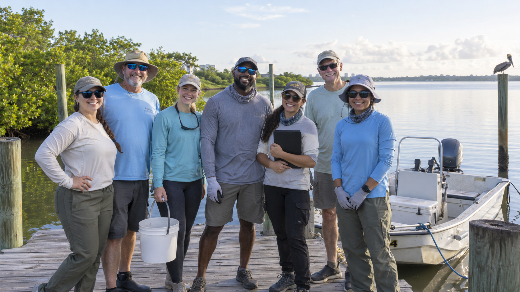
Project Lagoon supporters and volunteers together on the dock — the community behind the mission.
Project Lagoon is built on participation. Whether you adopt a zone through hands-on stewardship, support a zone financially, help equip the survey team, fund survey technology, support recovery equipment, contribute to a wish list item, volunteer, or become a partner — every form of support expands what the mission can do.
Choose the path that fits your commitment. Every option connects to administrator-approved Zeffy links and existing participation pages.
Adopt Through Action
Adopt a four-mile lagoon zone through hands-on stewardship and survey work. Adopting a zone is free.
Support a Lagoon Zone
Support SCWS survey and recovery work in an adopted zone. SCWS surveys and recovers items as resources, conditions, and authorization allow; a donation does not guarantee complete coverage or recovery.
Support Current Operations
Help cover fuel, maintenance, insurance, and the real costs of keeping the boat on the water.
Support OperationsHelp Equip the Survey Team
Fund the sonar, GPS, tablets, and communications equipment the survey team needs.
Fund Survey Technology
Support advanced sonar, ROV, and drone capabilities for finding what the water hides.
Support Recovery Equipment
Help acquire recovery pontoons, cranes, and rigging for larger debris targets.
Contribute to a Wishlist Item
Choose a specific item from the wish list and help fund it directly.
Volunteer
Join the team as a trained volunteer for surveys, recovery, and community events.
Become a Partner
Partner with Space Coast Water Sweep as a business, foundation, or organization.
The Mission Grows With You
We prepare. We launch. We survey. We detect. We verify. We map. We recover. We document. We return. We improve. Every step is real, and every step grows with your support.